Land Use & Terrain Analysis
GIS-based mapping and analysis for mine planning, land-use assessment, and environmental studies.
Advanced geospatial technologies play a vital role in modern mining management. Our GIS and remote sensing services provide accurate spatial analysis and monitoring support.
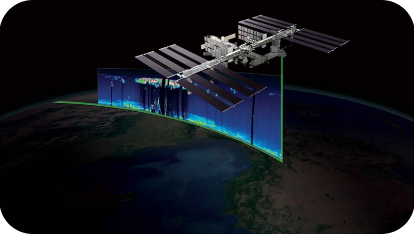
We integrate satellite imagery and GIS tools to enhance planning, compliance, and environmental monitoring.
GIS-based mapping and analysis for mine planning, land-use assessment, and environmental studies.
Monitoring mining progress, land changes, and environmental parameters using remote sensing data.
Our integrated geospatial approach ensures reliable outputs by combining technology with domain expertise.
Leverage geospatial intelligence to improve efficiency, transparency, and sustainable mining operations.
Ever find yourself staring at your computer screen a good consulting slogan to come to mind? Oftentimes.