Boundary & Topographic Surveys
Accurate boundary demarcation and surface mapping for operational clarity and statutory compliance.
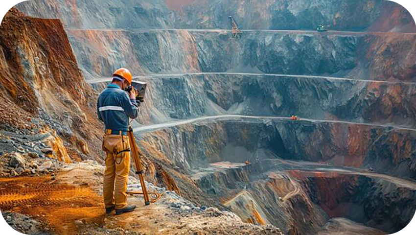
Accurate surveying is the foundation of efficient mining operations. We deliver precise spatial data to support planning, compliance, and resource optimization.
We use modern instruments and proven methodologies to ensure reliable measurements and legally compliant survey outputs for all mine types.
Accurate boundary demarcation and surface mapping for operational clarity and statutory compliance.
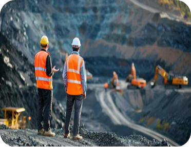
Reliable excavation and dump volume calculations for production planning and reporting. Our surveying solutions help minimize errors, improve planning accuracy, and support smooth regulatory approvals throughout the mining lifecycle.
Although we provide end-to-end mining consultancy services under one roof, some projects require specialized expertise beyond a single discipline. That’s why we collaborate closely with experienced professionals and regulatory authorities to deliver comprehensive and reliable mining solutions.
Streamline your mining projects and secure approvals with confidence through our integrated consultancy services tailored to regulatory and operational requirements.
We value the trust of our clients. Mining operators choose Geosia for our accuracy, transparency, and proven expertise in delivering sustainable and compliant mining solutions.
Ever find yourself staring at your computer screen a good consulting slogan to come to mind? Oftentimes.